Topographical Survey
ABOUT TOPOGRAPHICAL SURVEYS -
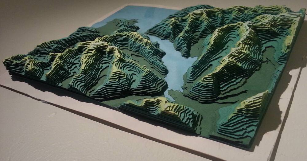
Topographical surveys are used to identify and map contours of the ground and existing features of the earth. The surveys produce accurate drawings identifying both natural and man-made features within an area. If you are looking to guarantee as smooth start to your building process, then a topographical survey is the way forward. A detailed topographical CAD drawing can make all the difference.
Topographical surveys have the ability to differentiate and accurately identify various elements within the designated area, encompassing the property, land features, and physical boundaries.
- Water Levels
- Water Channels
- Area Boundary Lines
- Buildings and Structures
- Ground Heights, Contours, and Surfaces
- Trees, Bushes, and Vegetation Positions
WHAT ARE TOPOGRAPHICAL SURVEYS USED FOR?
Topographical surveys are vital for planning purposes, including the construction of new buildings, implementation of drainage systems, and repositioning of boundaries. By conducting these surveys, you gain a comprehensive understanding of the land's topography and the site's conditions, enabling informed decisions in construction and design endeavors. Through detailed elevation analysis, adjustments can be made to the property's grade, and efficient plot creation and planning can take place, considering the existing land conditions and evaluating the current infrastructure.
Acquire comprehensive deliverables, including point cloud data, scaled 2D AutoCAD drawings, contour maps, and more. Our topographical surveys provide reliable and detailed information necessary for mapping your site. Moreover, our services encompass:
- Identifying drainage system concerns and potential issues
- Determining precise boundary data for the property
- Creating accurate terrain maps
- Assessing the risk of natural disasters in the area
- Utilizing drone technology to capture high-resolution imagery and data
- Designing and planning the construction phase of land development projects
Benefits of Using Our Topographical Survey Services -
Fast Delivery - Obtain your desired 2D CAD drawings and 3D models shortly after availing our topographical survey service. Our skilled team of laser scanning experts can swiftly deliver high-quality results to meet your requirements.
State of the art Technolgy - Our surveyors employ trusted and renowned brands of cutting-edge laser scanning technology. By utilising 3D laser scanners, GPS, and total stations, we ensure accurate and precise surveying of your site.
Responsive Services - Experience excellent customer service characterized by attentiveness, responsiveness, and a friendly approach. We prioritise your laser scanning requirements and offer flexibility to accommodate your project and team, ensuring smooth progress and success.
Reliable Deliverables - Feel assured as our team of professionals in topographical surveying provides you with highly detailed and dependable deliverables. Our topographical drawings and 3D models accurately depict all land and building features, empowering you with the necessary information to achieve success.