Point Clouds
Point clouds are collections of data points in a three-dimensional coordinate system that represent the spatial information of objects or environments. Generated through 3D laser scanning, each point in the cloud corresponds to a specific location in space. Point clouds provide a detailed and dense representation of the scanned area, capturing the shape and geometry of objects and surfaces. They are utilised in various industries for tasks such as creating accurate 3D models, measurements, analysis, visualisation, and planning.
Here at 3D measure, point clouds are used for many purposes, such as to create 3D CAD models, rendering, and much more.
How are point clouds created?
Point clouds are created through a process known as 3D laser scanning or LiDAR (Light Detection and Ranging). Here's a general overview of how point clouds are generated:

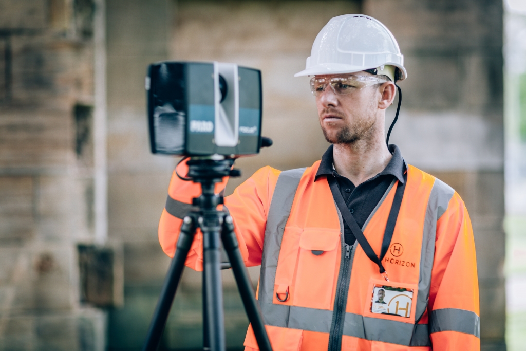
- Laser Scanning Setup: A 3D laser scanner is positioned in the area of interest, usually on a tripod or mount. The scanner emits laser beams that sweep across the scene.
- Laser Beam Reflection: The laser beams hit the surfaces of objects in the environment and reflect back to the scanner. The time it takes for the laser to travel to the object and return is measured.
- Distance Measurement: Based on the time-of-flight principle, the scanner calculates the distances from the scanner to the objects or surfaces hit by the laser beams. These measurements are used to determine the 3D coordinates (X, Y, Z) of the points.
- Multiple Scans: To capture the entire scene, multiple scans are performed from different positions or viewpoints. This ensures that all angles and surfaces are covered, reducing occlusions and capturing more complete data.
- Data Integration: The individual scans are combined and aligned using specialized software to create a unified point cloud. This involves matching overlapping points, eliminating noise, and optimizing the alignment of the scans.
- Point Cloud Generation: The processed data from the aligned scans forms a point cloud. Each point in the cloud represents a specific position in 3D space and is associated with attributes such as XYZ coordinates and, in some cases, color information if the scanner also captures color.

